U.S. Census to Re-designate Tysons Corner as "Tysons"
Washington, DC,
November 10, 2015
Congressman Gerry Connolly (D-VA) and the Tysons Partnership announced today that the U.S. Census Bureau has agreed to have the Tysons Corner Census Designated Place name changed to "Tysons." Read more.
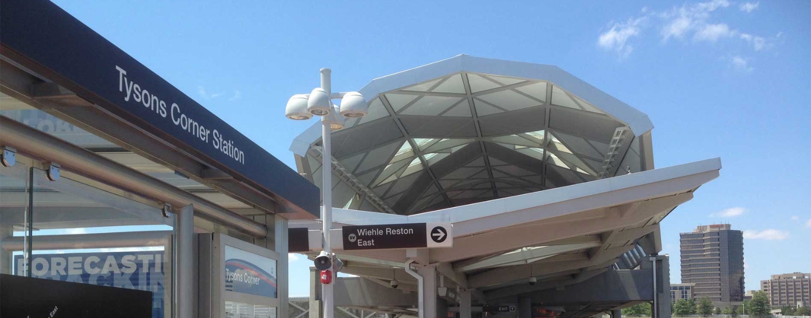
Congressman Gerry Connolly (D-VA) and the Tysons Partnership announced today that the U.S. Census Bureau has agreed to have the Tysons Corner Census Designated Place name changed to “Tysons.” The Census’ public-facing geographic products will reflect the change beginning in the summer of 2016. “When I was first elected to local government in 1995, we embarked on an ambitious vision to re-make Tysons into America’s next great city,” said Connolly. “After years of planning with community stakeholders and the business community, and a lot of hard work, that vision is becoming a reality.” “We’ve come a long way from when Tysons Corner consisted mainly of a small country store at the intersection of two country roads,” said Connolly. “With the addition of the Silver Line, Tysons has quickly become the economic engine of Fairfax County and one of the premier modern destinations to work, live, shop, and play, in the national capital region. This new name reflects a more modern Tysons and the central role it will play in our region’s future.” “A new chapter of our history begins; ‘Tysons’ is officially on the map — all maps,” said Michael Caplin, President of Tysons Partnership. “Sense of place is increasing defined by the geolocation data that pops-up in mapping and social media applications on mobile devices, all of which is fed by these federal databases,” said Caplin. “This a tremendous moment for the Tysons community, and we thank Representative Connolly and his staff for their leadership and support.” The Census will work with the U.S. Board on Geographic Names (BGN) at the U.S. Geological Survey (USGS) to implement the change to update their databases so that all federal mapping agencies reflect the new name. In addition, other data users, including mapping companies such as Google, Bing, Apple, MapQuest, TomTom, etc. will update their systems over the next several months based on Census’ action. As Chairman of the Fairfax County Board of Supervisors, Connolly established the Tysons Land Use Task Force. That Task Force developed the Comprehensive Plan for Tysons, which was recognized in 2011 by the American Planning Association with the Daniel Burnham Award for National Planning Excellence. |
In the News


SUBSCRIBE
SUBSCRIBE
Sign up to get news and updates from Rep. Gerry Connolly directly to your inbox.